Weather service issues flood watch, raises rain forecast to 3 inches
The watch covers the Four Corners and the upper Dolores River from Sunday morning through Monday morning. Forecasters now expect 1 to 3 inches of rain on ground still saturated from last week's flooding.
The National Weather Service office in Grand Junction issued a flood watch for the Four Corners late Thursday night, two days after it had said only that it was watching the weekend forecast, and raised the amount of rain it expects to 1 to 3 inches.
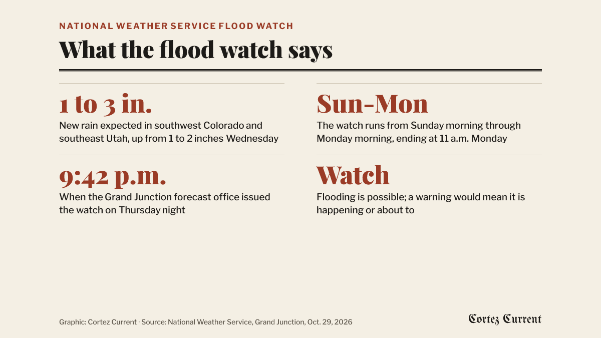 Graphic: Cortez Current. Source: National Weather Service flood watch, Grand Junction, October 29, 2026
The watch went out at 9:42 p.m. Thursday. “Flooding caused by excessive rainfall is possible,” it says, and it runs from Sunday morning through Monday morning, ending at 11 a.m. Monday.
One of the seven forecast zones under the watch is Four Corners/Upper Dolores River, which is the zone Cortez and the valley floor sit in. That matters because several bulletins over the past fortnight have covered only high ground: this one does not. The other six are the Animas and San Juan river basins, the Southwest San Juan Mountains, and three in southeast Utah — Canyonlands/Natural Bridges, the La Sal and Abajo mountains, and southeast Utah generally.
What changed since Wednesday
The weather service’s hydrologic outlook on Wednesday, reissued on Thursday morning, put 1 to 2 inches of new rain over parts of southwest Colorado and southeast Utah and said rivers were forecast to stay below action stage — the level at which an agency starts preparing for possible flooding.
The watch issued twelve hours later gives a higher number and a broader concern. It expects “1 to 3 inches of rain” across portions of southeast Utah and southwest Colorado from Sunday morning through Monday morning, and it says so explicitly “over soils that are still saturated from recent rainfall and flooding.”
That shifts the thing at risk. The outlook’s list was hillsides, roadways, burn scars, washes, slot canyons and arroyos; the watch leads instead with watercourses, saying excessive runoff “may result in flooding of rivers, creeks, streams, recently burned areas, and other low-lying and flood-prone locations.” It adds two practical consequences the outlook did not mention: low-water crossings may go under, and storm drains and ditches may clog with debris.
What the weather service asks of people is to watch for an upgrade. Keep up with later forecasts and “be alert for possible Flood Warnings,” it says; anyone in a flood-prone spot “should be prepared to take action should flooding develop.”
A watch is the middle rung of three, and the distinction is the whole point of it: possible, not forecast for a named place. The rung above is a warning, and the county has had several of those this month — the one that ran to Monday in western Montezuma County and the ones that covered Mancos, Mesa Verde and Dolores. The rung below is where Wednesday’s outlook sat.
For as long as the weather service keeps this watch active it shows by itself on the alert bar at the top of every page on this site. It was there on Friday morning.
The ground it falls on
Last week’s rain was the wettest stretch the county has had in years. It shut US 160 west of Cortez to through traffic for three days, put rockfall on Road G and sinkholes on Road J, added about 20,000 acre-feet to McPhee Reservoir, and led CDOT to ask Washington for $65 million in emergency repair money for southwest Colorado.
The watch is on the weather service’s active alerts page, and the Grand Junction office’s forecast for the area is at weather.gov/gjt. Road conditions are at cotrip.org.
The bulletin states its timing two ways. Its summary headline reads “FLOOD WATCH IN EFFECT FROM LATE SATURDAY NIGHT THROUGH MONDAY MORNING,” while the detail section of the same bulletin gives the window as “From Sunday morning through Monday morning,” which is also what the product’s own coded start time says. Both readings are the weather service’s own.