Forecasters see 1 to 2 inches more rain Sunday and Monday
The weather service says an atmospheric river reaches the Four Corners this weekend. Its stated concern is rock, mud and debris coming off hillsides still saturated from last weekend's rain, rather than the rivers.
The National Weather Service office in Grand Junction issued a hydrologic outlook on Wednesday afternoon that puts another 1 to 2 inches of rain over parts of southwest Colorado and southeast Utah on Sunday and Monday, and says the risk it is watching is debris coming off ground that has not dried out since last weekend.
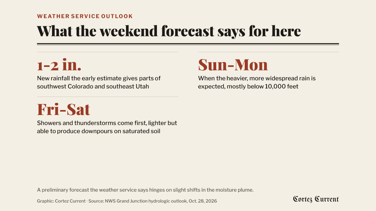 Graphic: Cortez Current. Source: National Weather Service hydrologic outlook, Grand Junction, October 28, 2026
The outlook, issued at 2:42 p.m., names Montezuma, Dolores, La Plata, Archuleta and San Miguel counties in Colorado and San Juan County, Utah. It describes a low-pressure system digging south from the Pacific Northwest on Friday and tapping a band of Pacific moisture that becomes, in the forecasters’ words, “an atmospheric river streaming into the Desert Southwest this weekend.”
Showers and thunderstorms arrive first, on Friday and Saturday. Rainfall totals those two days should be lighter because there is less moisture in place to start with, the outlook says, but it adds that “a few thunderstorms could produce impactful downpours on saturated soils left over from last weekend’s historic rainfall.”
Deeper moisture builds Saturday night and early Sunday. That, the forecasters say, is what is expected to bring heavier and more widespread rain across southeast Utah and southwest Colorado on Sunday and Monday, mostly below 10,000 feet. The early estimate is an area of 1 to 2 inches of new rainfall for parts of both.
What the forecasters say they are worried about
Not the rivers. The outlook says rivers are forecast to stay below action stage — the level at which an agency starts preparing for possible flooding. The concern it names instead is runoff on saturated hillsides, which “could produce rock, mud, and debris flows onto roadways, as well as flash flood prone burn scars, washes, slot canyons, and arroyos.”
Montezuma County’s own road crews spent much of last week clearing rockfall on Road G and watching sinkholes develop on Road J, and US 160 west of Cortez was shut to through traffic for three days before the state’s traffic map showed it open again on Tuesday night. The same storms put about 20,000 acre-feet into McPhee Reservoir.
The weather service says this is “a preliminary forecast that hinges on slight shifts in a strong moisture plume impacting the region,” and that it sets out the most statistically likely outcome even though both wetter and drier predictions exist. It asks “outdoor enthusiasts, motorists, and residents of recent flood impacted areas” to keep up with the forecast over the coming days.
Where an outlook sits
A hydrologic outlook is the lowest rung of the weather service’s ladder and the one most people never see. It is issued days ahead to say that forecasters are watching something that may develop; it is not a prediction that flooding will happen. A flood watch means flooding is possible. A flood warning means flooding is happening or about to. Only the last two carry the urgency that shows up as an alert on this site’s pages.
As of Wednesday evening no watch or warning was in effect for Montezuma County or the Cortez area. This outlook expires at 3 p.m. Thursday, by which time the weather service will have replaced it or let it lapse.
The outlook is on the weather service’s active alerts page, and the Grand Junction office’s forecast for the area is at weather.gov/gjt. Road conditions are at cotrip.org.