US 160 closed at two points in western Montezuma County
Montezuma County said Saturday evening that the highway is shut at the San Juan River Bridge near the state line and again at mile marker 14, both because of flooding. No reopening time was given.
Montezuma County said on Saturday evening that US 160 is closed at two points at the western end of the county, both because of flooding, and asked drivers to stay away from the area.
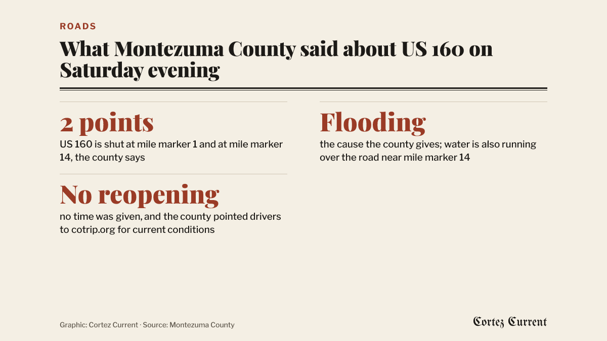 Graphic: Cortez Current. Source: Montezuma County
The notice went up on the county’s Facebook page at 7:37 p.m. “Highway 160 is now closed at mile marker 1 (near the state line) AND at mile marker 14 due to flooding,” it reads. “Please avoid the area. Never drive through standing water on roads.”
Mile marker 1 is at the San Juan River Bridge, at the far western end of the Colorado stretch of US 160, where the highway crosses into Utah. Mile marker 14 is about thirteen miles east of it, on the same run of highway between Cortez and the state line.
The county’s notice began as a correction. It opened by saying that the highway was not closed at mile marker 14, and that water was flowing over the roadway near that location while the closure was at mile marker 1 only. The sentence naming both closure points was added after that, and it is the state of things the county last described.
What this does and does not cover
This is the western end of US 160, not the stretch most Cortez drivers use day to day. Nothing in the county’s notice touches US 160 east of Cortez toward Mancos and Durango, US 491 north or south, or CO 145 up the Dolores River.
The Colorado Department of Transportation’s own regional news page has posted nothing about Montezuma County since Friday, when it reported closures elsewhere in southwest and south-central Colorado. The county’s notice is so far the only public word on these two closure points.
The county did not say when the highway might reopen, and pointed drivers to the state’s travel site, cotrip.org, for current conditions. Conditions on a flooded highway change by the hour, so check there before setting out rather than relying on this report.
Why the water is there
The closures come as the National Weather Service keeps a flood warning in force for western Montezuma County and southern San Juan County, Utah, until 1 p.m. Monday. Forecasters describe catastrophic flooding along the San Juan River between the Four Corners and Mexican Hat, and expect the river to peak at Mexican Hat on Sunday evening above all previous records. Our running account of the flood warning has the detail.
The county also closed the landfill for the day on Saturday because of high winds, in a separate notice posted at 12:39 p.m.
The closure notice is on the Montezuma County Facebook page.