Road M closed between Roads 25 and 25.4, county says
The closed stretch is shorter than the one the county posted during the flooding, when Road M was shut from Road 25 all the way to Road 27. Other county roads are still damaged, the county says, and drivers should slow down.
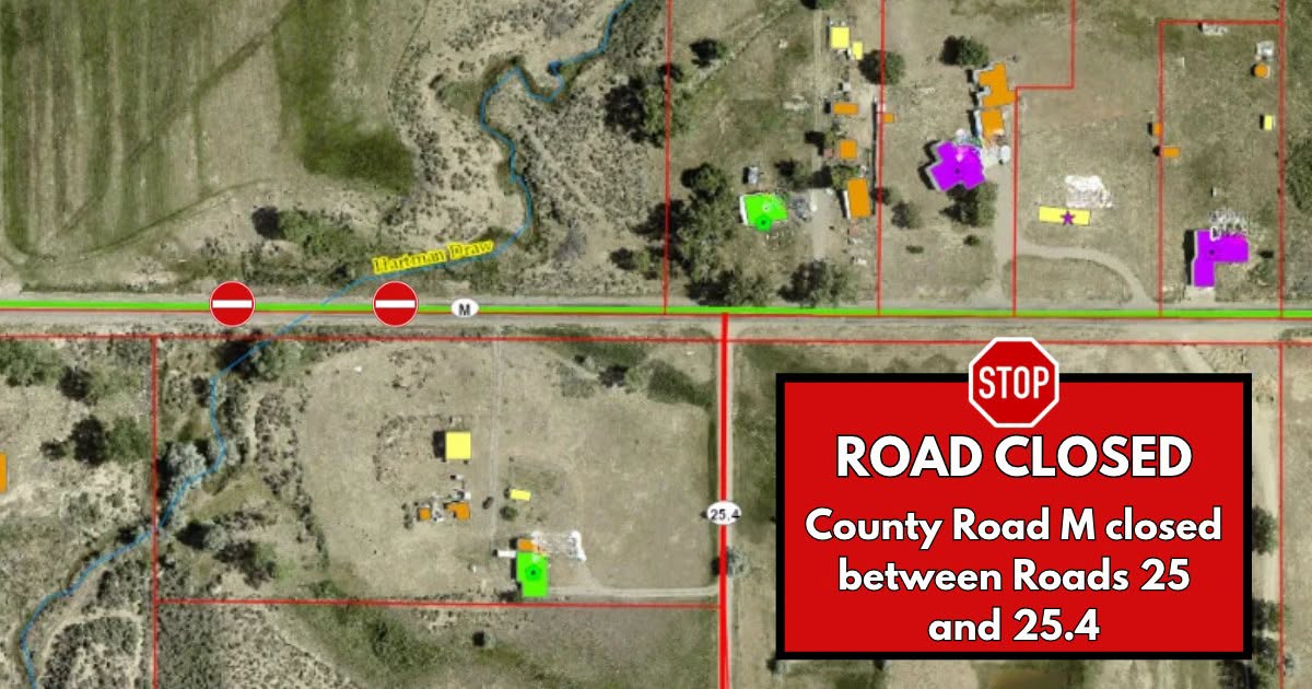
Montezuma County says Road M is closed between Road 25 and Road 25.4 because of road damage, and is asking drivers to find another route.
The county posted the closure at 3:10 p.m. Monday on its Facebook page, under the heading “MONTEZUMA COUNTY ROAD CONDITIONS UPDATE.” It gives no reopening date.
The closed stretch is shorter than the one the county posted during the flooding. On the evening of Sunday, November 1, the county closed Road M from Road 25 to Road 27 “due to road flooding and damage,” a closure the Current reported alongside the Mancos evacuations. Monday’s notice names only the stretch between Road 25 and Road 25.4, so the rest of that run is no longer listed as shut. The county did not say when the shorter closure took effect.
The rest of the county’s roads
The notice goes wider than the one closure. “Other county roads have also sustained damage, and drivers may encounter hazardous conditions, including damaged pavement, washed-out shoulders, and uneven road surfaces,” the county said, and told drivers to use caution.
Its list asks drivers to slow down, especially approaching damaged areas; to watch for unexpected road damage and changing conditions; to use extra caution around damaged shoulders and road edges; to obey all road closure signs and not to drive around barricades; and to give road crews room to work.
The county said Road & Bridge crews “are working to address damaged areas” and asked for patience while repairs are made.
The county has not published a full list of damaged roads since the flooding. On the afternoon of November 1 it listed seven roads closed and six more with water or debris running across them, and said at the time that Road & Bridge was “too busy to check all the areas and to keep up with the flooding.”
The notice is on the county’s Facebook page. State highways are a separate matter: the Colorado Department of Transportation’s live map at cotrip.org is the authority on whether a state highway is open.
Update, November 10, 2026: Road and Bridge told county commissioners on Nov. 9 that Road M will stay closed until an engineer designs a fix, and the board asked for a flood disaster declaration to be ready for its Nov. 10 meeting so one can be hired without going out to bid. Read the follow-up: County to weigh flood declaration to speed Road M repair.