Avalanche advisory covers the San Juans and La Platas to Monday
The state avalanche center says backcountry travelers above treeline can easily trigger slides big enough to bury a person. The advisory runs to 4:30 p.m. Monday and names no valley-floor area.
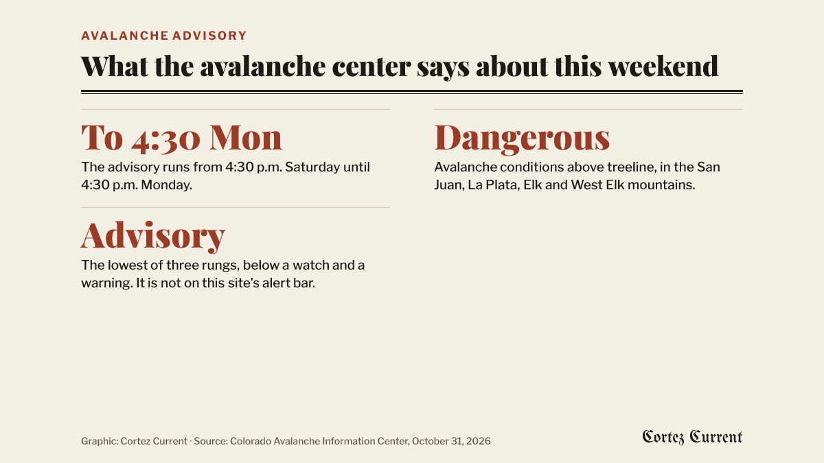
The Colorado Avalanche Information Center has put a special avalanche advisory over the mountains east of Cortez, and it runs until 4:30 p.m. on Monday.
 Graphic: Cortez Current. Source: special avalanche advisory from the Colorado Avalanche Information Center, transmitted October 31, 2026
The advisory was transmitted at 7:16 p.m. on Saturday by the National Weather Service office in Denver at the avalanche center’s request, and took effect at 4:30 p.m. that afternoon. “Avalanche conditions are dangerous above treeline,” it says.
The areas it names are the West Elk Mountains, the Elk Mountains, the San Juan Mountains and the La Plata Mountains. Two of those are close to home: the San Juans run along the eastern side of Montezuma County, and the La Platas sit between Mancos and Durango. The forecast zones attached to the bulletin are the West Elk and Sawatch mountains and the northwestern, southwestern and eastern San Juan zones above 10,000 feet. No valley-floor area is in it, so Cortez, Dolores, Mancos and Towaoc are not covered, and nor is any road at valley level.
What the advisory warns about is what happens to people who go up. “Backcountry travelers can easily trigger dangerous avalanches large enough to bury a human,” it says.
The cause it gives is the storm that has been in the forecast all week. “A potent winter storm increases avalanche danger Sunday into Monday,” the bulletin says. “Rain, snow, and wind will cause natural avalanches above treeline.” The weather service has a separate winter storm warning out for the two southwest San Juan zones, calling for 12 to 18 inches of snow above 10,000 feet and gusts to 45 mph from 6 a.m. Sunday to noon Monday, and a flood watch covering the valley floor for the rain falling below the snow line.
An advisory is the lowest of the three rungs the weather service uses, below a watch and a warning, and it does not appear on the alert bar at the top of this site, which is kept for watches and warnings. It is still a dated official notice about conditions readers can walk into this weekend, which is why it is reported here.
The avalanche center asks anyone heading into the backcountry to read its own forecast first, at colorado.gov/avalanche. The bulletin as transmitted is on the weather service’s active alerts page.