Dolores River peaked at 9 feet; two areas evacuated
The Town of Dolores says the river has fallen back to 8.57 feet and that the neighborhoods from 1800 Central Ave. up to 18396 Highway were evacuated and flooded. No other neighborhoods were flooded, it says, and town crews are working around the clock on the ditches.
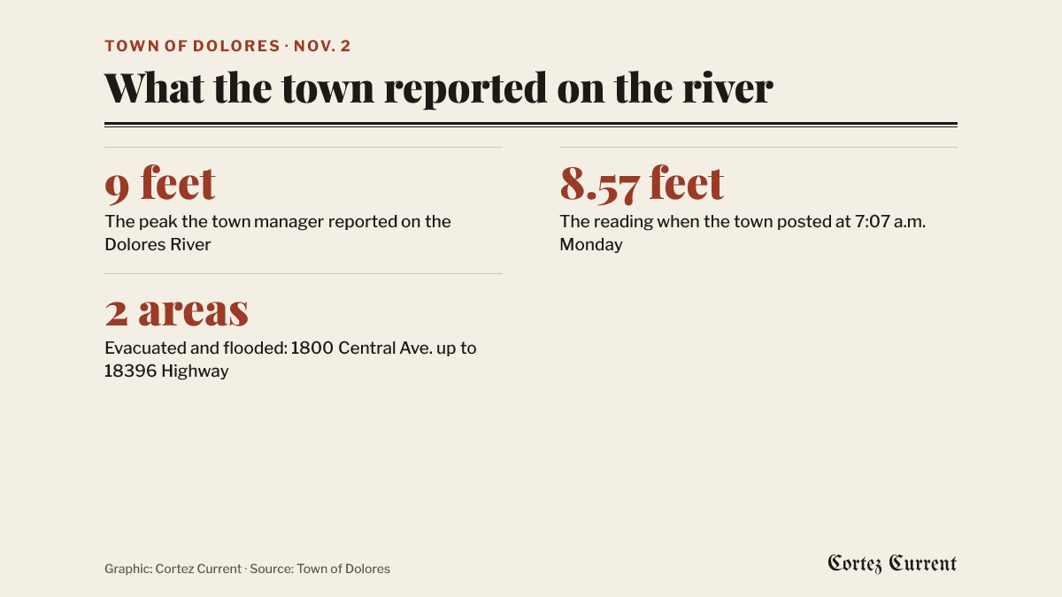
The Dolores River crested at 9 feet and two stretches of the Town of Dolores were evacuated and flooded, the town said in a post on Monday morning — the first account from the town itself of what Sunday’s storm did inside its limits.
 Graphic: Cortez Current. Source: Town of Dolores
The post, published at 7:07 a.m. on Monday, is short enough to give whole:
The town manager is reporting the river is receding from a peak of 9 feet to 8.57 feet.
The neighborhoods from 1800 central (The Outpost motel) up to 18396 highway (uptown plaza mobile home park) have been evacuated and are flooded. No other neighborhoods have been flooded. The town crews are serving 24 hours in split shifts helping keep the ditches flowing.
That is the whole of what the town said. It did not say when the evacuations were ordered, who ordered them, how many homes or people were involved, whether a shelter was opened, or whether anyone had been allowed back. It has posted nothing since.
What the county had posted
The county has not published anything about flooding inside the town. What it did post, late on Sunday night, was a pre-evacuation alert for the 19,700 to 19,900 blocks of Highway 145 along the Dolores River, telling people there to be ready to leave at a moment’s notice. Those blocks are not the stretch the town describes, neither notice refers to the other, and the county has said nothing about its alert since. That notice, the county’s Sunday road closures and the separate Mancos evacuation order — since lifted — are all set out in the Current’s running story on Sunday night.
The river reading
The 9-foot peak and the 8.57-foot reading are the town’s own figures, attributed in its post to the town manager. The Current has not found a second published reading of the Dolores River at Dolores to compare them with, and the town’s post does not say which gauge or measuring point they come from.
The weather service’s county-wide flood warning expired at 4:15 p.m. on Monday. Two of its river warnings are still running: one on the Mancos River to 10:15 p.m. Tuesday, and one on the San Juan River to 5:15 p.m. Thursday. Neither covers the Dolores River at Dolores.
Town of Dolores notices are on the town’s website. State highways are at cotrip.org. For an emergency, call 911.