Wind advisory Tuesday: gusts up to 50 mph in the valley
The National Weather Service expects south winds of 20 to 30 mph, gusting to 50 mph, from 10 a.m. to 10 p.m. Tuesday. Unlike last week's mountain-only advisory, this one covers the Montezuma Valley.
The National Weather Service has issued a wind advisory for Tuesday covering the Montezuma Valley, forecasting south winds of 20 to 30 mph with gusts of up to 50 mph from 10 a.m. to 10 p.m.
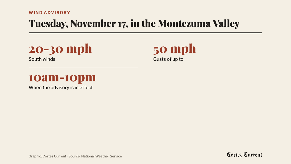 Graphic: Cortez Current. Source: National Weather Service
The Grand Junction office issued the advisory at 11:25 a.m. Monday. It names two areas in Colorado, the Four Corners/Upper Dolores River zone and the Paradox Valley/Lower Dolores River zone, and two in Utah, Arches/Grand Flat and Southeast Utah. The Four Corners/Upper Dolores River zone is the one that takes in Cortez, Dolores, Mancos and the rest of the Montezuma Valley, so unlike last week’s winter weather advisory, which was for the San Juan Mountains only, this one is for the valley floor.
The bulletin’s impacts are brief: “Gusty winds will blow around unsecured objects. Tree limbs could be blown down and a few power outages may result.”
Its advice is aimed at drivers. “Winds this strong can make driving difficult, especially for high profile vehicles,” it says. “Use extra caution.”
An advisory is the lowest of the weather service’s three levels. A watch means hazardous weather is possible; a warning means it is happening or about to; an advisory means conditions are expected that will be a nuisance or a hazard, but short of warning level. A wind advisory does not appear on the Current’s weather banner, which carries watches and warnings only.
A change in the weather
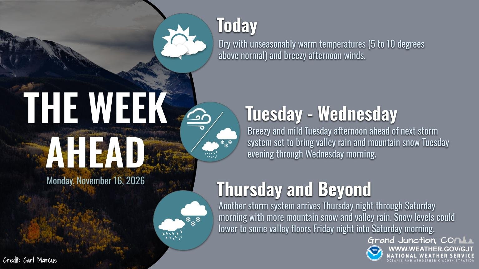
The wind comes ahead of a turn in the pattern. In its forecast post early Monday, the Grand Junction office said dry and unseasonably warm conditions would give way to cooler, unsettled weather from late Tuesday through the end of the week, with “a series of disturbances” passing through Tuesday and Wednesday and again from late Thursday through Saturday, “bringing more valley rain and mountain snow.”
The office’s graphic for the week puts the valley rain and mountain snow from Tuesday evening through Wednesday morning, and the second storm from Thursday night through Saturday morning, when it says snow levels could drop to some valley floors on Friday night into Saturday morning.
Source: National Weather Service, Grand Junction, Colorado — wind advisory issued November 16, 2026 at 11:25 a.m. MST, read through api.weather.gov; and the office’s forecast post and week-ahead graphic of November 16, 2026 on X. Active alerts for zones COZ021, COC083 and COZ019 were read on Monday evening.