Winter weather advisory Wednesday in the San Juan Mountains
The National Weather Service expects 4 to 8 inches of snow above 10,000 feet between 6 a.m. and 6 p.m., and slushy and icy conditions on mountain passes. Montezuma County passed the bulletin on Tuesday afternoon.
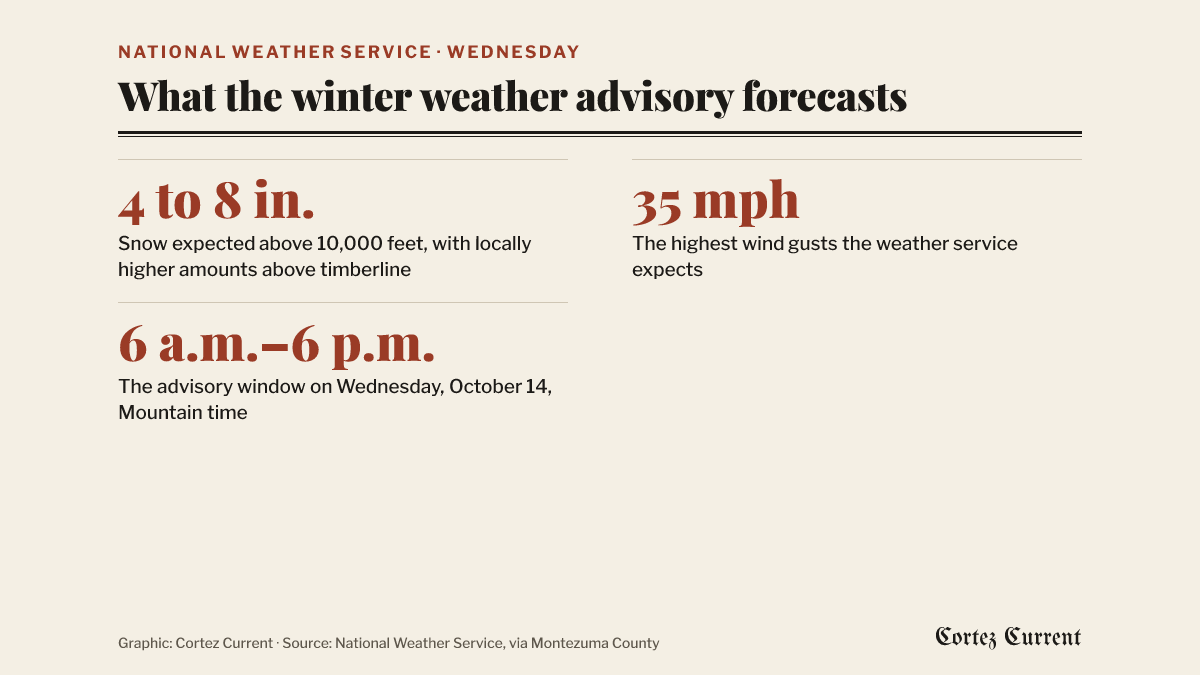
The National Weather Service has issued a winter weather advisory for the San Juan Mountains above 10,000 feet, in effect from 6 a.m. to 6 p.m. Mountain time on Wednesday. Montezuma County reshared the bulletin on its Facebook page at 1:33 p.m. Tuesday.
 Graphic: Cortez Current. Source: National Weather Service, via Montezuma County
The weather service expects total snow accumulations of 4 to 8 inches above 10,000 feet, with locally higher amounts possible above timberline, and winds gusting as high as 35 mph.
The bulletin names two forecast areas — the Northwest San Juan Mountains and the Southwest San Juan Mountains. It does not name Cortez, Dolores, Mancos or Towaoc, all of which sit well below the 10,000-foot level the advisory describes.
Its stated impacts are for drivers: “Plan on slushy and icy road conditions on mountain passes,” the weather service says, adding that the conditions could affect the Wednesday morning and evening commutes. Its advice is to slow down and use caution while travelling, and it directs drivers to call 511 for the latest road conditions.
A winter weather advisory is a step below a winter storm warning. The weather service issues one when it expects winter conditions strong enough to be an inconvenience and possibly hazardous, rather than the heavier snow or more dangerous conditions a warning describes.
The advisory was reshared by Montezuma County on its Facebook page, where the county regularly passes on weather service bulletins for the area.